Towns Along the Trent-Severn Waterway
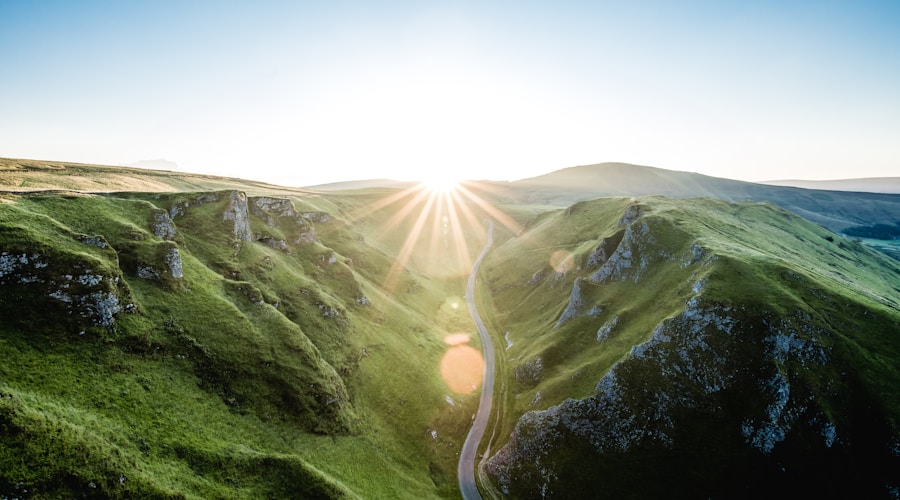
The Trent-Severn Waterway stretches 386 kilometres from Trenton on the Bay of Quinte to Port Severn on Georgian Bay, passing through 44 locks, two marine railways, and one hydraulic lift lock that remains an engineering marvel more than a century after its construction. The waterway threads through the heart of central Ontario, connecting a chain of lakes and rivers that would otherwise be separate systems. Along its route, it sustains communities that owe their existence, and much of their character, to the canal.
Unlike the Rideau Canal, which was built for military defense, the Trent-Severn was constructed primarily for commerce and transportation. Logging, agriculture, and the movement of goods drove its development through the second half of the nineteenth century. Today the commercial traffic is gone, replaced entirely by recreational boaters, paddlers, and the tourists who gather at lock stations to watch the machinery work. But the towns remain, and their relationship with the waterway is as strong as ever.
Trenton and the Southern Entry
Trenton, now part of the City of Quinte West, is where the waterway begins. Lock 1 sits at the mouth of the Trent River, where it empties into the Bay of Quinte. The town is oriented around the river, with a downtown that follows the water and a waterfront trail that connects the lock station to the parks upstream.
Trenton's position as the southern gateway to the waterway gives it a strategic role in the corridor's tourism economy. Boaters provisioning for the trip north stop at the marina and the downtown shops. Cyclists on the waterfront trail pass through on their way to Campbellford and beyond. The Canadian Forces Base at Trenton brings a military presence that adds economic stability and a distinct demographic layer to the community.
Campbellford, upstream, is a classic river town with a twist: the river is a canal. The town grew up around the Trent River at a point where the current provided water power for mills, and the commercial district still faces the water. The Empire Cheese building, one of the last remaining cheddar cheese factories in the region, is a local landmark. The lock at Campbellford is one of the busier stations on the waterway, with a steady stream of boats in summer and a lock operator who seems to know everyone by name.
Peterborough and the Lift Lock
Peterborough is the largest city on the Trent-Severn Waterway, and its lock is the most spectacular. The Peterborough Lift Lock, completed in 1904, raises boats 19.8 metres using a hydraulic mechanism that requires no external power source. Two concrete chambers, each holding a full lock's worth of water and boats, counterbalance each other: one rises while the other descends. It is the highest hydraulic lift lock in the world, and watching it operate is one of the great spectacles of Ontario infrastructure.
The lift lock sits in a park setting north of downtown Peterborough, with a Parks Canada visitor centre that explains the engineering. But the lock is more than a tourist attraction. It is a functioning part of the waterway, and boats pass through it daily during the navigation season. The combination of monumental engineering and everyday utility gives the lift lock a character that purpose-built attractions cannot match.
Peterborough's relationship with the waterway extends beyond the lift lock. The Otonabee River, which the canal follows through the city, provides a green corridor through the urban area. The trail along the river connects neighbourhoods, and the canoe and kayak culture on the Otonabee is one of the strongest in the province.
The Kawartha Lakes Section

North of Peterborough, the waterway enters the Kawartha Lakes chain. This section passes through Lakefield, Buckhorn, Bobcaygeon, Fenelon Falls, and Rosedale, each a lock town with its own personality. The Kawartha waterfront lifestyle is most visible along this stretch, where the locks serve as social gathering points and the lakes provide the recreational foundation for the surrounding communities.
Buckhorn is a small community that punches above its weight during boating season. The lock and the adjacent general store form the nucleus of a summer economy that includes fishing charters, canoe rentals, and cottage supply runs. The Buckhorn Fine Art Festival, held each August, draws collectors from across the province and has earned a reputation as one of Ontario's premier outdoor art events.
Bobcaygeon and Fenelon Falls anchor the middle section of the Kawartha chain. Both towns have reinvented themselves over the past two decades, transitioning from sleepy seasonal communities to year-round small towns with active commercial districts and growing permanent populations. The waterway is the common thread: every restaurant, shop, and gallery in both towns benefits from the boating traffic that the canal delivers.
The Summit Section and the Marine Railway
The highest point of the Trent-Severn Waterway is at Balsam Lake, where the canal reaches its summit before descending toward Georgian Bay. The Big Chute Marine Railway, near the northern end of the waterway, is one of the most unusual features on any canal in the world. Boats are hauled out of the water onto a large carriage that runs on rails, transported overland across a section of rapids, and lowered back into the water on the other side.
The Big Chute operation is a spectacle worth planning a trip around. Boats of all sizes, from small fishing boats to large cruisers, are strapped to the carriage and moved with a precision that belies the apparent roughness of the process. The operators handle each vessel with practiced care, and the boats always reach the other side intact, if occasionally looking a bit surprised.
Port Severn and the Northern Terminus
Port Severn, where the waterway meets Georgian Bay, is a quiet community that serves primarily as a launching point for boaters heading onto the bay. The lock at Port Severn is the final one on the system, and clearing it feels like an achievement for boaters who have traversed the full waterway. The transition from the sheltered canal environment to the open water of Georgian Bay is dramatic: the water gets rougher, the horizon opens up, and the scale changes completely.

The northern section of the waterway, from Orillia through the Severn River to Port Severn, passes through some of the most scenic territory on the route. The river narrows through rocky channels, widens into quiet bays, and drops through a series of locks that feel increasingly remote as you move north. The cottages along this stretch are older and more modest than the lakefront properties in the Kawarthas, and the overall atmosphere is quieter.
The Waterway's Future
The Trent-Severn Waterway faces significant infrastructure challenges. Many of the locks and dams date from the early twentieth century and require substantial investment to maintain. Parks Canada, which operates the waterway, has faced criticism for deferred maintenance and reduced operating hours at some lock stations. The 2017 spring flooding, which damaged several structures along the waterway, highlighted the vulnerability of aging infrastructure to extreme weather events.
The communities along the waterway are vocal advocates for continued investment. The canal is not a relic of the past for these towns. It is the foundation of their present economy. Boating traffic, lock-station tourism, and the broader waterway brand drive economic activity from Trenton to Port Severn. The marina and boating culture along the route depends on the waterway functioning reliably.
For visitors, the Trent-Severn offers one of Ontario's best multi-day waterfront experiences. Whether you travel by boat, by bicycle along the trail sections, or by car with stops at the lock stations, the corridor reveals a version of Ontario that the highways miss entirely. These are small towns worth knowing, connected by a waterway that still does what it was built to do: move people and goods through the heart of the province, one lock at a time.