Why Floodplain Maps Are Outdated and What That Means for Development
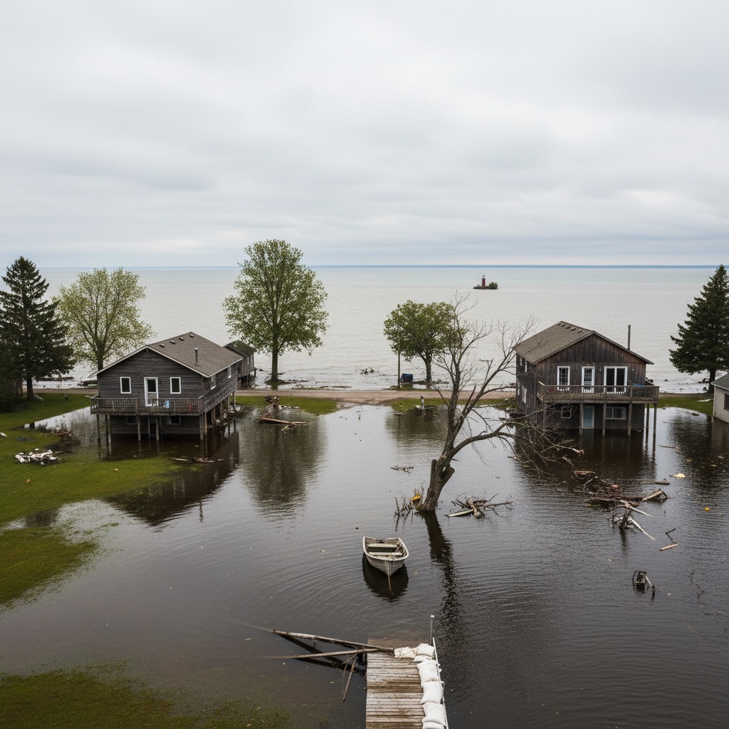
When the town of Bracebridge flooded in the spring of 2019, the water reached places the official maps said it would not. Homes that sat outside the mapped floodplain found themselves knee-deep in river water. The maps, drawn from data collected in the 1980s, had not accounted for decades of upstream development, changes to drainage patterns, or shifting rainfall intensities driven by a warming climate.
Bracebridge is not an outlier. Across Ontario, floodplain maps that guide development approvals, insurance decisions, and emergency planning are based on data that in many cases predates the internet. Conservation authorities, which are responsible for most floodplain mapping in the province, have long warned that their maps need updating. But the funding has not kept pace with the need.
How Floodplain Maps Are Made
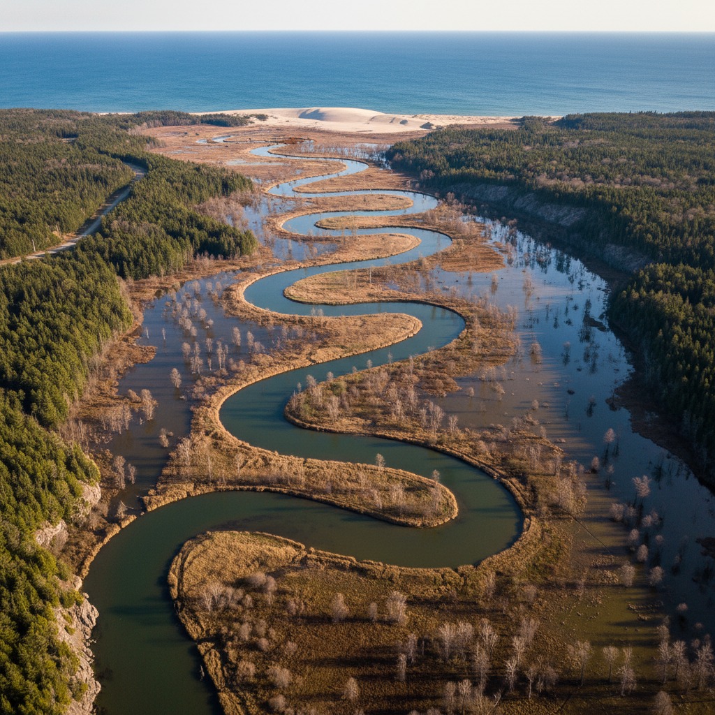
Floodplain maps in Ontario are produced by the province's 36 conservation authorities, typically in partnership with municipalities and the provincial government. The process involves hydrological modelling, which calculates how much water a watershed can produce during a major storm event, and hydraulic modelling, which determines where that water will go once it enters rivers, streams, and lakes.
The standard used across Ontario is the "regulatory flood," which in southern Ontario is based on the Hurricane Hazel storm of 1954, the most severe rainfall event ever recorded in the region. In northern Ontario, the standard is typically the 100-year flood. The resulting maps delineate areas that would be inundated during these events and form the basis for development restrictions.
The problem is that the topographic data, land cover information, and hydrological models used to produce many of these maps were developed 30 to 40 years ago. Some rely on hand-drawn contour maps rather than modern LiDAR elevation data. Others fail to account for significant changes to the landscape: new subdivisions, paved parking lots, removed wetlands, and altered stream channels that change how water moves across the land.
What Has Changed Since the Maps Were Drawn
Several factors have combined to make existing floodplain maps unreliable in many parts of Ontario. The most significant is development itself. When farmland or forest is converted to housing subdivisions, the amount of impervious surface in a watershed increases dramatically. Rainwater that once soaked into the ground now runs off rooftops, driveways, and roads, reaching waterways faster and in greater volumes. The flood risk increases, but the maps stay the same.
Climate change has added another layer of uncertainty. Rainfall events in Ontario are becoming more intense and less predictable. The Canadian Centre for Climate Services has documented a clear trend toward heavier precipitation events in the Great Lakes region, exactly the kind of storms that produce flash flooding in urban and suburban watersheds.
Meanwhile, the loss of wetlands and natural flood storage areas has reduced the landscape's capacity to absorb excess water. Ontario has lost an estimated 72 percent of its original wetlands in southern regions, according to provincial data. Each wetland that disappears is one less natural sponge that can slow and store floodwater during a storm.
Why It Matters for Development
Floodplain maps are not just academic exercises. They directly determine where homes, businesses, and infrastructure can be built. Under Ontario's Provincial Policy Statement, development is generally prohibited within the floodplain. Conservation authorities use these maps to regulate building permits, and municipalities rely on them when reviewing subdivision and site plan applications.
When the maps are wrong, the consequences can be severe. Properties approved for development based on outdated mapping may face flood damage that was entirely foreseeable with better data. Homeowners in these situations often discover that their insurance does not fully cover overland flood damage, particularly if their property was not identified as being in a flood zone.
There is also a financial dimension for municipalities. Infrastructure built in areas that flood more frequently than the maps predict requires more maintenance and repair. Roads, sewer systems, and stormwater management facilities all take a beating when flood events exceed design standards. The costs eventually land on taxpayers.
The Funding Gap
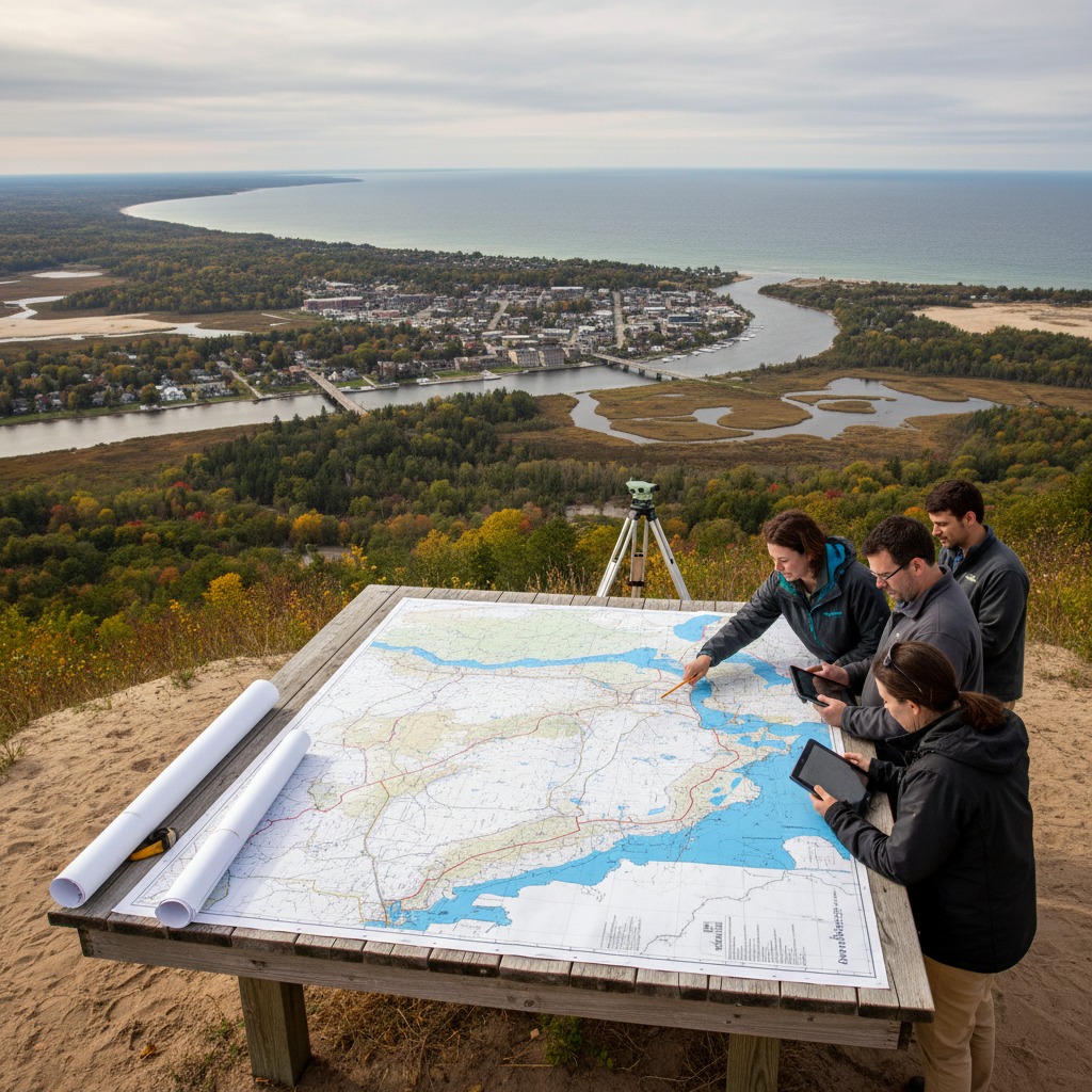
Updating floodplain maps is expensive. A comprehensive update for a single watershed can cost hundreds of thousands of dollars, and some conservation authorities manage multiple watersheds. The process requires new topographic surveys, updated hydrological and hydraulic models, and extensive technical review.
After the devastating Ottawa River floods of 2017 and 2019, the federal and provincial governments committed new funding to flood mapping and infrastructure. Ontario's Flooding Strategy, released in 2020, acknowledged the need for updated maps and promised investments. Some progress has been made, particularly in areas that experienced recent flooding, but many conservation authorities say the funding falls short of what is needed for province-wide updates.
The Nottawasaga Valley Conservation Authority, which manages watersheds draining into Georgian Bay, completed a major update of its floodplain mapping in 2021 using modern LiDAR data. The new maps revealed that the flood risk in several areas was significantly greater than the old maps indicated, affecting hundreds of properties that had previously been considered safe from flooding.
What Needs to Happen
Experts in flood management agree on several steps that would improve the situation. First, the province needs to commit sustained funding for map updates, not one-time grants tied to specific flood events. Second, conservation authorities need access to modern data, including LiDAR topography, updated land cover mapping, and climate-adjusted rainfall projections. Third, municipalities need clearer guidance on how to use updated maps in their zoning and planning decisions.
Some have also called for a provincial standard requiring floodplain maps to be updated on a regular cycle, perhaps every 10 to 15 years, to ensure they keep pace with development and climate trends. Without such a requirement, updates happen only when funding becomes available or when a flood event makes the inadequacy of the existing maps impossible to ignore.
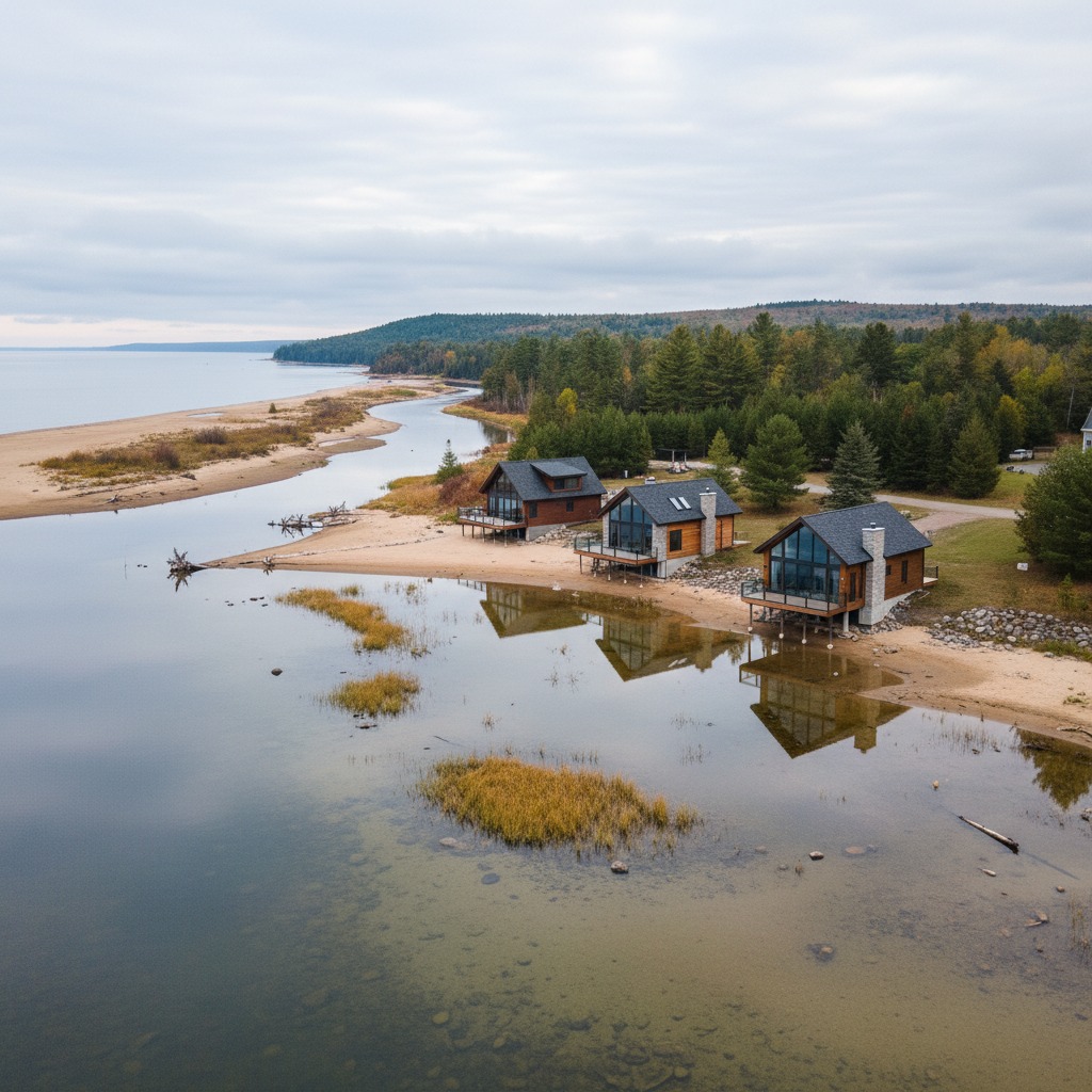
For homeowners and prospective buyers, the practical advice is straightforward: do not rely solely on official floodplain maps when assessing flood risk. Look at the history of flooding in the area, talk to neighbours, and check whether the local conservation authority has flagged your area for erosion or flood concerns. The maps may say your property is safe. The water may disagree.