Waterfront Towns Along the Ottawa River
The Ottawa River runs 1,271 kilometres from its headwaters in the Laurentian Highlands to its confluence with the St. Lawrence near Montreal. Along its Ontario shore, the river passes through some of the province's least-visited waterfront communities: towns with deep histories, undervalued waterfronts, and a relationship with the river that goes back centuries.
These are not resort towns. The Ottawa River corridor lacks the tourism infrastructure of Muskoka or the Bruce Peninsula. What it has instead is a collection of working communities that grew up along the river for practical reasons, logging, milling, trade, and agriculture, and that retain a grounded, unpretentious character that can be hard to find elsewhere in Ontario.
Arnprior: Where the Madawaska Meets the Ottawa
Arnprior sits at the junction of the Madawaska and Ottawa rivers, about an hour west of Ottawa. The town's waterfront, anchored by Robert Simpson Park and the public beach at the river's edge, is one of the more accessible riverfronts along the corridor. You can walk from the main street to the water in five minutes, and the views upstream toward the Madawaska's mouth are genuinely striking.
Arnprior's economy is more diversified than many Ottawa River towns. A mix of light manufacturing, government employment (given its proximity to the national capital), and a growing tourism base gives the town stability that purely resource-dependent communities lack. The waterfront trail system, which connects the beach to the upstream parkland along the Madawaska, has become a significant recreational asset.
What makes Arnprior notable is how recently it has begun to leverage its river setting. For decades, the waterfront was underused, with the town oriented toward Highway 17 rather than the river. The shift toward waterfront development over the past ten years represents a broader pattern along the Ottawa River corridor, as communities rediscover the resource that brought them into existence.
Renfrew and the Bonnechere Valley
Renfrew sits a few kilometres off the Ottawa River on the Bonnechere River, but its connection to the broader river system is deep. The Bonnechere was a major log-driving route, and Renfrew grew as a service centre for the lumber industry. Today the town is the commercial hub for Renfrew County, serving a large rural hinterland.
The County of Renfrew has invested in the Ottawa Valley Rail Trail, a multi-use path that follows the former rail corridor through several communities including Arnprior, Renfrew, and points north. The trail is reshaping how residents and visitors experience the river valley, providing a recreational spine that connects communities that previously felt isolated from one another.
The Bonnechere Caves, upstream from Renfrew, draw visitors to the valley's geological heritage. The river carved these caves through layers of Ordovician limestone over millennia, and the guided tours offer a perspective on the Ottawa River watershed that goes far deeper than the surface-level scenery.
Pembroke: The Upper Ottawa

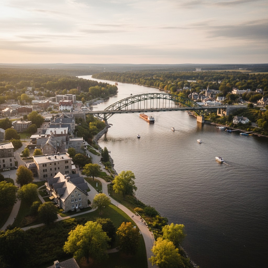
Pembroke is the largest town on the upper Ottawa River in Ontario, and its waterfront tells a story of reinvention. The river through Pembroke is wide and island-dotted, with views across to the Quebec shore. The town's Heritage Murals, a collection of large outdoor paintings depicting local history, are concentrated in the downtown and along the waterfront, creating an open-air gallery that draws visitors year-round.
The waterfront trail in Pembroke connects the downtown to Riverside Park and the Algonquin Trail, a converted rail corridor. The trail system is one of the better examples of how small Ontario communities can create recreational infrastructure without massive capital investment, by repurposing existing corridors and connecting them to the waterfront.
Pembroke also serves as a gateway to the Ottawa River's whitewater section. The rapids upstream, near Beachburg and Foresters Falls, support a commercial rafting industry that brings thousands of visitors through the region each summer. That whitewater economy spills over into Pembroke's restaurants, motels, and shops, providing an economic boost that complements the town's traditional base in forestry and agriculture.
Deep River and Chalk River
Further upstream, Deep River occupies a unique position. The town was built in the 1940s as a residential community for workers at the Chalk River Nuclear Laboratories. It was planned, not organically grown, and the result is a tidy community with wide streets, substantial public parks, and a waterfront that was designed for recreation from the start.
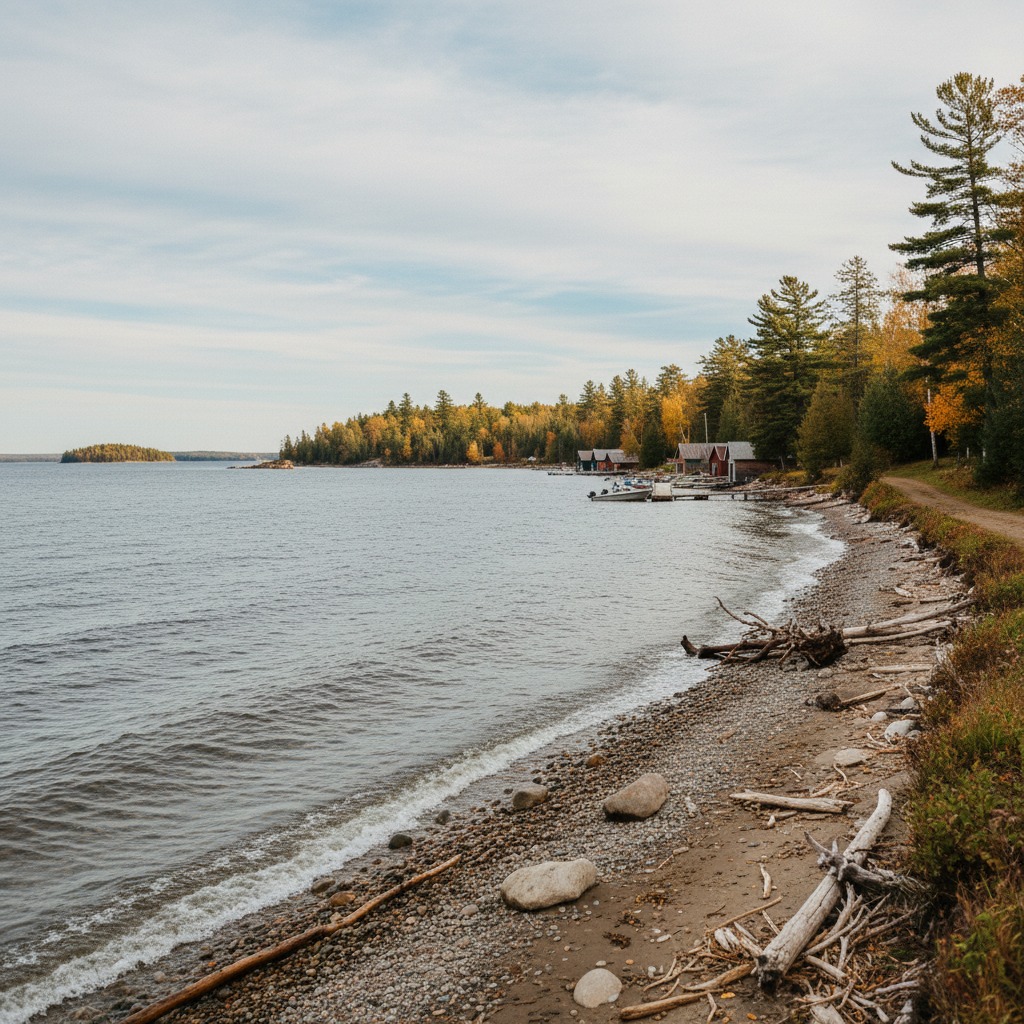
The beach at Deep River is one of the best freshwater swimming spots in eastern Ontario. The river widens into a lake-like expanse at this point, and the sandy bottom and gradual depth make it ideal for families. The surrounding forest, part of the vast boreal belt that extends north, gives the setting a wilderness quality that the southern Ontario beach towns cannot match.
Downstream: Hawkesbury and the Eastern Corridor
East of Ottawa, the river takes on a different character. The communities along the eastern section, Hawkesbury, Rockland, Clarence-Rockland, are smaller and more francophone, reflecting the cultural geography of the Ontario-Quebec border. Hawkesbury sits directly across from Grenville, Quebec, and the cross-river relationship between the two communities is a daily reality rather than an abstraction.
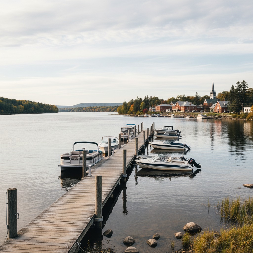
Hawkesbury's waterfront has seen modest investment in recent years, with a trail along the river and improvements to the municipal marina. The town's bilingual character and its proximity to Montreal (about an hour's drive) give it a cultural flavour that is distinct from the upper Ottawa River communities. The restaurants serve poutine alongside fish and chips. The signage is in both languages. The community straddles two provinces culturally, even if the river draws the political line.
Rockland, about half an hour east of Ottawa, is growing as a bedroom community for the capital. Its waterfront park and the boat launch on the river provide local access, but the town has not yet developed its river frontage to the extent that communities further upstream have. The potential is there, and a few revitalization initiatives are in early stages.
The River as Connector
The Ottawa River communities share a characteristic that sets them apart from Great Lakes harbour towns or smaller river towns in southern Ontario: the river is a border. It separates Ontario from Quebec, English from French, and two provincial regulatory regimes. But it also connects. The bridges at Arnprior, Pembroke, Hawkesbury, and elsewhere are not just transportation links. They are social and economic ties between communities on opposite shores.
That dual nature, barrier and connector, gives the Ottawa River corridor a complexity that is easy to miss from a distance. The communities along the Ontario shore are shaped as much by their relationship with Quebec as by their relationship with each other. Family connections cross the river. Commerce crosses the river. Cultural influences flow in both directions.
For visitors, the Ottawa River corridor offers a version of Ontario waterfront life that is quieter, less curated, and arguably more genuine than the province's more famous waterfronts. These are towns where the restaurant recommendations come from locals rather than guidebooks, where the public waterfront access is uncrowded, and where the river is still the central fact of daily life. That combination is increasingly rare, and increasingly worth seeking out.