Lake Huron Shoreline Communities Worth Visiting
Lake Huron's Ontario shoreline runs roughly 2,700 kilometres if you count every inlet, bay, and island. From the farmland flats south of Sarnia to the rugged shield country of the Bruce Peninsula and Georgian Bay, this coast offers more variety than most people expect. The communities along it reflect that variety: no two feel quite the same.
Unlike the Lake Ontario shore, which is heavily urbanized from Oshawa through Hamilton, or the cottage-dominated Muskoka lakes, Lake Huron's shoreline communities retain a mix of working towns, tourism villages, and agricultural hamlets that gives the coast a layered character. Driving Highway 21 from Grand Bend to Tobermory, you pass through several distinct regions, each with its own identity.
The Southern Stretch: Grand Bend to Bayfield
Grand Bend is the party beach. There is no getting around it. On summer weekends, the main strip fills with visitors from London, Kitchener, and beyond, and the beach is packed from the pier to the provincial park. But Grand Bend has depth beneath the surface. The Pinery Provincial Park, immediately south, is one of the finest dune ecosystems in the Great Lakes. The oak savanna trails and the river mouth at the park's northern end offer experiences that have nothing to do with the beach strip.
South of Grand Bend, the shoreline quiets down. Bayfield, perched on a bluff overlooking the lake, is a heritage village that has maintained its character through deliberate restraint. The main street is a single block of stone and brick buildings housing galleries, restaurants, and specialty shops. The harbour below the bluff serves a small fleet of sailboats and fishing charters. Bayfield proves that a waterfront community does not need to be busy to be successful.
Goderich: The Hub of the Huron Shore
Goderich anchors the central section of the Lake Huron coast. The town is built around an octagonal town square that radiates streets outward like spokes. The courthouse sits at the centre, and the commercial district rings the square in a pattern that has not fundamentally changed since the town was laid out in the 1820s. Below the bluff, the harbour handles salt from the Compass Minerals mine, recreational boats, and the occasional freighter.
The 2011 tornado that struck Goderich damaged the town square and destroyed several heritage buildings. The recovery effort became a case study in community resilience. Rather than replacing the damaged buildings with modern structures, the town invested in heritage-faithful reconstruction. The square today is arguably more attractive than it was before the storm, a testament to the community's commitment to its own identity.
Goderich's waterfront has evolved significantly over the past decade. The boardwalk along the bluff has been extended, connecting the main beach to the harbour. The salt mine operation coexists with the recreational waterfront in a way that feels distinctly Goderich. According to the Ontario Ministry of Tourism, the Huron shore region has seen steady growth in visitor numbers, with Goderich serving as the primary draw.
Kincardine to Southampton
North of Goderich, the shoreline straightens out and the beaches get wider. Kincardine is known for its Scottish heritage, its lighthouse, and the pipe band that plays on summer evenings along the waterfront. The town has a working harbour, a strong year-round population anchored by the nearby Bruce Power nuclear station, and a downtown that serves locals as much as visitors.
Port Elgin and Southampton sit close together on Saugeen Shores, sharing a municipality but maintaining distinct identities. Port Elgin is the more commercial of the two, with a beach that draws day-trippers and a main street that has seen recent investment. Southampton is quieter, with a heritage district, an art gallery in a converted school, and a beach that stretches for kilometres without a building in sight.
The Saugeen River, which meets Lake Huron at Southampton, adds another dimension. The river supports a significant steelhead and salmon fishery, drawing anglers from across the province. The fishing economy sustains tackle shops, guides, and accommodations that keep the community active well beyond the summer beach season.
The Bruce Peninsula
Above Southampton, the landscape shifts dramatically. The Bruce Peninsula rises from the lake, its western shore a wall of dolomite cliffs that drops directly into the water. The communities here are small: Sauble Beach (technically on the east side, facing the bay), Wiarton, Lion's Head, and Tobermory at the tip.
Lion's Head is a gem that few visitors reach. The harbour is tiny, the village is minimal, and the Bruce Trail runs along the cliff top above town. The views from the trail are among the best in Ontario: open water stretching to a flat horizon, the cliff edge dropping thirty metres to the lake below.
Tobermory functions as the terminus of the Bruce Peninsula and the departure point for the Chi-Cheemaun ferry to Manitoulin Island. The town's two harbours, Big Tub and Little Tub, frame a community that runs entirely on marine tourism from May through October. The Fathom Five National Marine Park, with its shipwrecks visible in the clear water, is the primary draw, but the harbour town atmosphere is worth the trip on its own.
What Connects These Communities
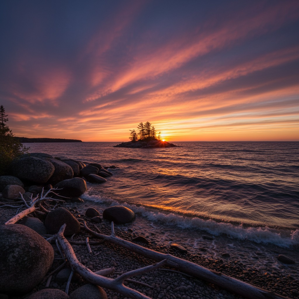
Lake Huron's shoreline communities share a westward orientation that defines their daily experience. The sunsets are legendary. Every community along this coast has a sunset-watching culture, whether it is the benches at the Kincardine lighthouse, the pier in Grand Bend, or the bluff in Goderich. That shared ritual, repeated every clear evening from April to October, creates a common identity that transcends municipal boundaries.
The communities also share the challenge of managing a shoreline that is both their greatest asset and their most significant vulnerability. Erosion, changing beach dynamics, and water level fluctuations affect every town along the coast. The response has been uneven, but there is a growing recognition that shoreline management needs to be coordinated across municipalities rather than handled town by town.
The Lake Huron shore remains one of Ontario's most rewarding driving tours. Highway 21 from Grand Bend to Kincardine and Highway 6 up the Bruce Peninsula pass through a cross-section of waterfront community types: the resort town, the heritage village, the working harbour, the agricultural hamlet, and the wilderness outpost. Each one reflects a different answer to the question of how to live alongside a Great Lake, and the diversity of those answers is what makes the journey worth taking.
For those seeking public waterfront access and the culture of marina life, the Huron shore delivers consistently. This is a coast where the water still belongs to the public in more than just theory, where small-town identity remains intact, and where the sunset alone justifies the drive.